New Maps for Tree Public Notices & Tree Tracking Data Now Available!
[ad_1]
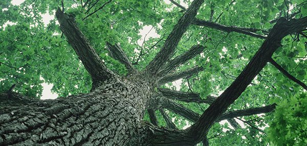
Last year, the City of Seattle adopted new codes and regulations regarding tree protection, tree service providers, and tree public notices. These new regulations help the City balance tree protection and housing production. Trees add value to your property and the surrounding community. Canopy cover is one important measure of the health of the urban forest. Urban trees provide numerous ecological, economic, and social benefits, including wildlife habitat, neighborhood livability, and improved public health outcomes.
SDCI has published two new maps to help you understand what commercial tree work is happening in your neighborhood, including tree-related information collected from issued permits and posted tree public notices. Below is a description of each map.
- Tree Public Notice Map: This interactive map displays all SDCI tree public notices for reportable work or tree removal. You can filter the map to display work scheduled for the future, as well as scheduled work that is beyond the required notice period and may have already occurred. By entering an address or navigating in the map and selecting a notice marker, you may view the details of the tree work and link directly to the public notice itself. You can also use advanced filtering to view notices within a specific date range and/or by type of tree work (removal or reportable work).
- Tree Tracking Data Map: This interactive map displays tree tracking data gathered from issued SDCI records compliant with the new tree protection ordinance that went into effect on July 30, 2023. The map identifies trees required to be protected, authorized to be removed, and the location and type of replacement trees as represented on the issued and approved plans. This data includes tree information (such as tree name, category, and size) related to approvals granted when development is occurring on the site, as well as when there is no construction occurring on the site. By entering an address or record number, you can learn more about tree activity in your neighborhood. You can also use advanced filtering to view data results by tree category, as well as tree activity associated with and without construction.
Links to these maps are available from both the SDCI Trees & Codes webpage and the Seattle Services Portal Trees webpage.
We hope you will find this tool easy to use and that the information is helpful! If you have ideas on how to improve these interactive maps, send an email to SCI_webteam@seattle.gov.
[ad_2]